Operational Procedures Set-up:
CATUAV has been operating UAS for commercial applications since the launch of Atmos 1, our first fully functional system (Check here our discontinued range of Aerial Services we used to provide). We have experience in flying in multiple environments (urban, night flight, extreme temperatures…) in all sorts of operation modes (VLOS, EVLOS, BVLOS, FPV…). Furthermore, we have taken care of keeping up to date our operational procedures to the ever-changing legal framework.
Our experience allows us to support you in properly deploying any new application, assessing you in:
- Technology selection: Selecting the right UAS technology is key to properly succeed in your project. We can help you in analyzing the technical requirements of the project and find the best solution available in the market to meet those.
- Safe operation: Once the suitable UAS has been selected, it is important to properly define the operational procedures to ensure the maximum level of safety through all operation steps. This includes taking into account the orography, expected meteorological conditions, take-off and land area configuration, sources of interference…
- Regulatory compliance: Complying with all UAS regulations may be difficult and sometimes ambiguous. We can help you in guaranteeing the legality of the operational procedures and obtaining all the permissions from the relevant NAA (National Aviation Authority).
- Economically feasible: Fulfilling all previous points means nothing if the application is not economically feasible. From our experience we can estimate the multiple costs associated with the UAS operative to optimally set-up your application work-flow and proceedings.
If you want to know more about how our capabilities can benefit your project check our know-how list or read about some of our most relevant projects below:
IOPES – 2020 to 2022
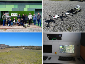
IOPES aims at strengthening the preparedness of civil protection and emergency teams (CPET) involved in disaster-related operations. The targets are (1) to provide continuous, time-tagged information about the location of CPETs, no matter whether they are located indoors or outdoors, (2) integrating such information as a new feature of an already operational emergency management system, (3) relying in cartography, either existing or produced by means of fast mapping techniques and Remotely Piloted Aircraft Systems (RPAS) ...
REALITY – 2019 to 2021
The goal of REALITY is to promote the use of EGNOS for safe drone operations, in the short term and in the context of the EU drone operations vision, the U-Space. For this, REALITY will map navigation performance and safety requirements –i.e., into accuracy, availability, continuity & integrity– and analyze to what extent EGNOS-based drone navigation systems meet them. REALITY works upon four types of social-relevant drone applications as project scenarios: (SC1) maritime surveillance, (SC2) ...
DRONNEA – 2018 to 2021
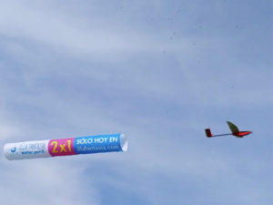
ANNUNZIA is a company in the advertising market that holds more than 80 billboards distributed alongside the Catalonia region. With a large customer base, the ANNUNZIA management team in 2017 defined a new advertising media with an expected great impact in the public, specially designed for the summer season. This new ad-media idea was based on UAVs acting as banner tugs. CATUAV signed a R&D agreement with ANNUNZIA to develop and build three experimental class ...
RAWFIE – 2016 to 2018
RAWFIE (Road-, Air-, and Water- based Future Internet Experimentation) is a project funded by the European Commission (Horizon H2020 programme) under the Future Internet Research Experimentation (FIRE+) initiative that aims at providing research facilities for Internet of Things (IoT) devices. The project introduces a unique platform across the space and technology by integrating numerous test beds of unmanned vehicles for research experimentation in vehicular, aerial and maritime environments. The platform will support experimenters with smart ...
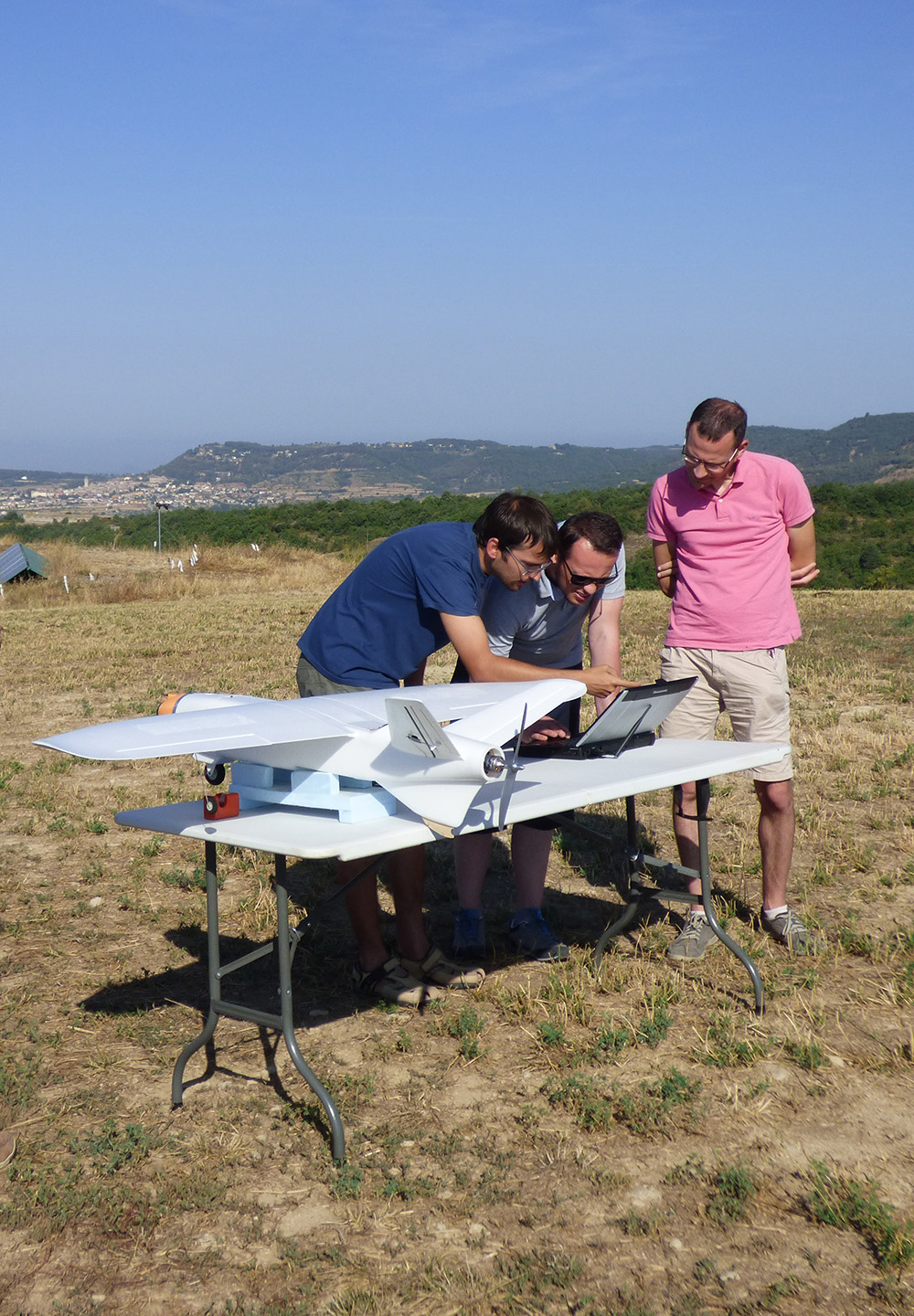
MAPKITE – 2015 to 2017
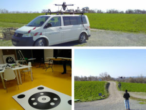
MapKITE project has materialized a new mobile, terrestrial and aerial, geodata collection and mapping paradigm. Geodata acquisition in mapKITE is accomplished by a tandem terrestrial-aerial mapping system based on a terrestrial vehicle and on an unmanned aircraft, both equipped with remote sensing payloads. In the mapKITE paradigm, the UA (Unmanned Aircraft) follows the TV (Terrestrial Vehicle) at an approximate constant flying height above ground while geodata are acquired simultaneously from air and ground. The final ...