
Year: 2015 to 2017.
Project type: Horizon 2020.
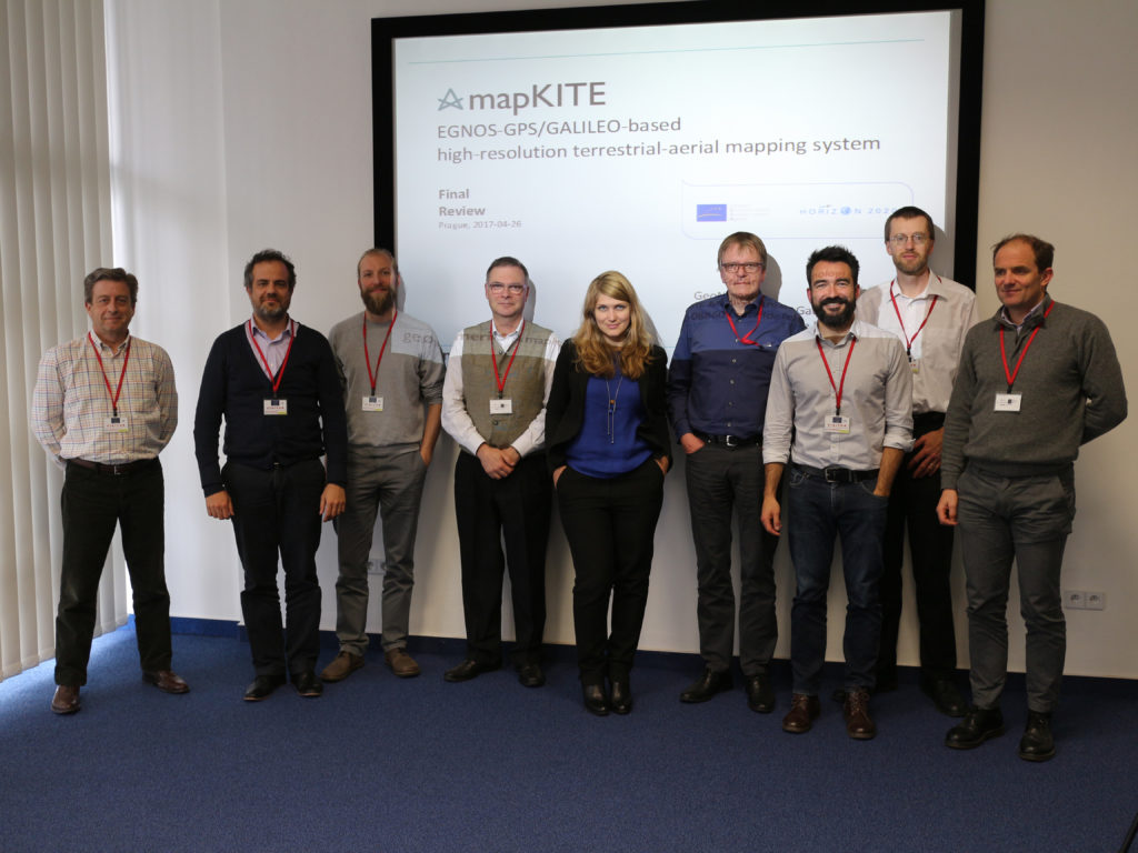
Participants: 8 Enterprises and 2 Research Organisation.
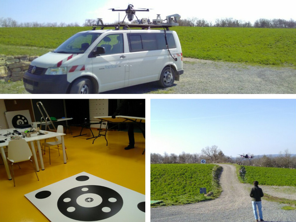
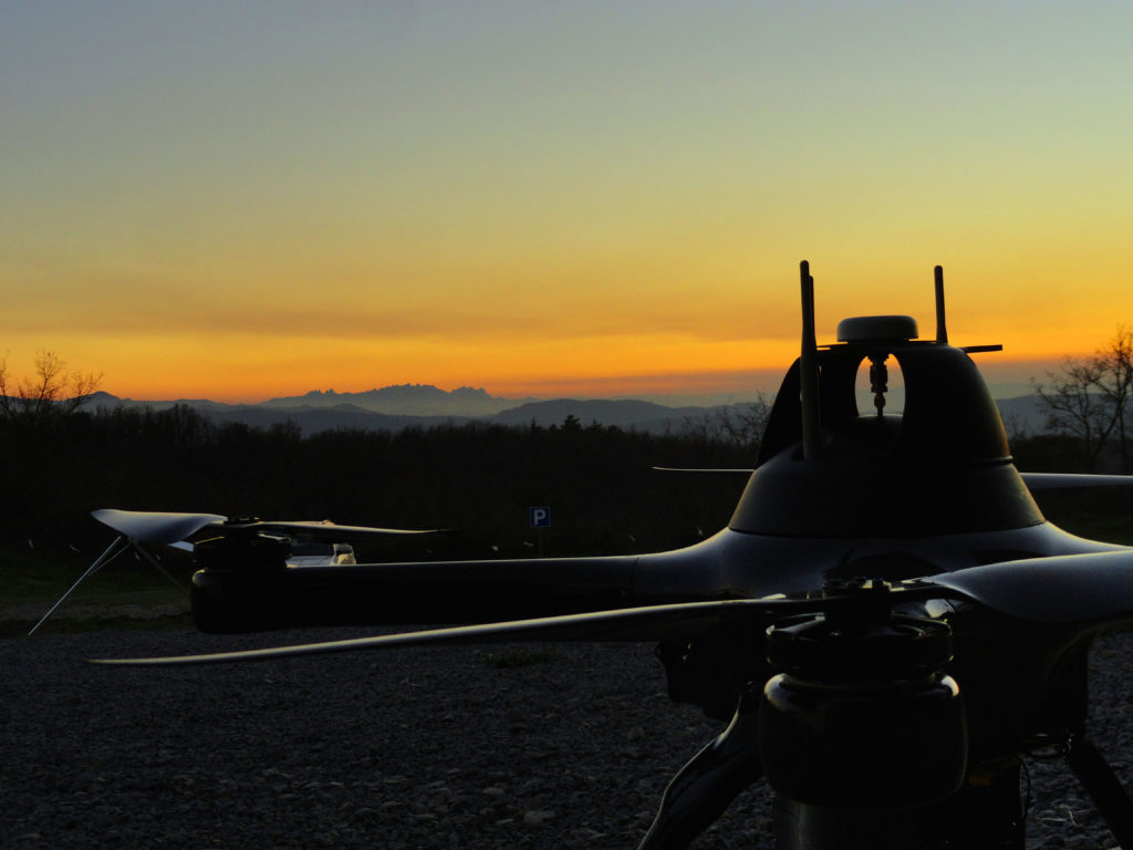
MapKITE project has materialized a new mobile, terrestrial and aerial, geodata collection and mapping paradigm. Geodata acquisition in mapKITE is accomplished by a tandem terrestrial-aerial mapping system based on a terrestrial vehicle and on an unmanned aircraft, both equipped with remote sensing payloads. In the mapKITE paradigm, the UA (Unmanned Aircraft) follows the TV (Terrestrial Vehicle) at an approximate constant flying height above ground while geodata are acquired simultaneously from air and ground. The final product is high resolution, oriented, calibrated and integrated images of a corridor and its environment, only fulfilled by much more expensive separate terrestrial and aerial missions.
For this purpose, the European GNSS systems are instrumental in mapKITE. An enabling component of mapKITE is EGNOS, which provides the desired level of accuracy for the terrestrial navigation solution (which is the source of the UA waypoints) and also for the UA guidance.
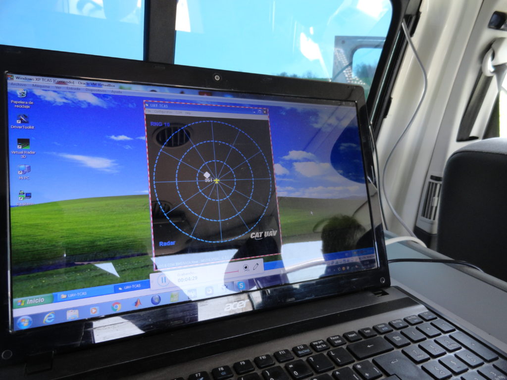
CATUAV has developed a new TCAS (Traffic Collision Avoidance System) for the UA and has provided its engineering resources in the payload integration and mission planning work packages as a member of the consortium. CATUAV has also provided its BCN Drone Center facilities and its 2500 ha of segregated airspace for the testing campaigns as well as hosted there the mapKITE workshop with end-users and stakeholders.