
Year: 2020 to 2022.
Project type: Horizon 2020.
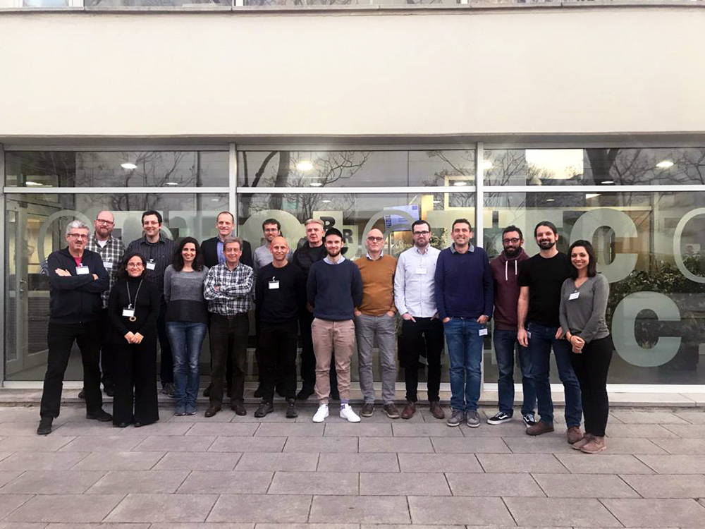
Participants: 4 Enterprises, 3 Civil Protection Org and 1 Research Org.
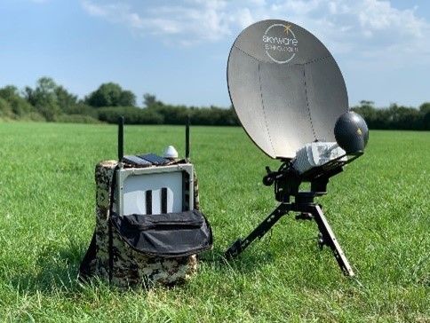
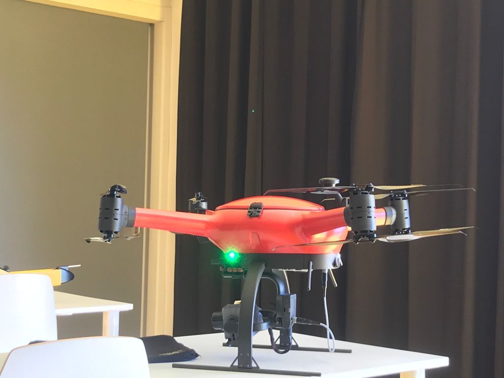
IOPES aims at strengthening the preparedness of civil protection and emergency teams (CPET) involved in disaster-related operations. The targets are (1) to provide continuous, time-tagged information about the location of CPETs, no matter whether they are located indoors or outdoors, (2) integrating such information as a new feature of an already operational emergency management system, (3) relying in cartography, either existing or produced by means of fast mapping techniques and Remotely Piloted Aircraft Systems (RPAS) (4) using its own communication system to guarantee the operations, thus avoiding the dependence of preexisting (possibly damaged / inoperant) infrastructures, so (5) a better decision-making process is possible.
In IOPES, CATUAV will provide its expertise in terms of fast mapping techniques using RPAS (target 3) and to provide RPAS as an extended and guaranteed communications system (target 4).
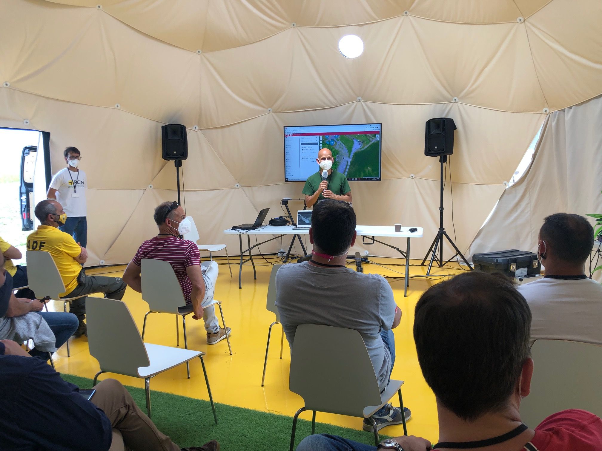
The BCN Drone Center will provide its facilities and TSA to perform one of the emergency scenarios and associated test campaign.