In this section you can find a list of the most relevant Research and Development projects in which CATUAV has participated since 2000:
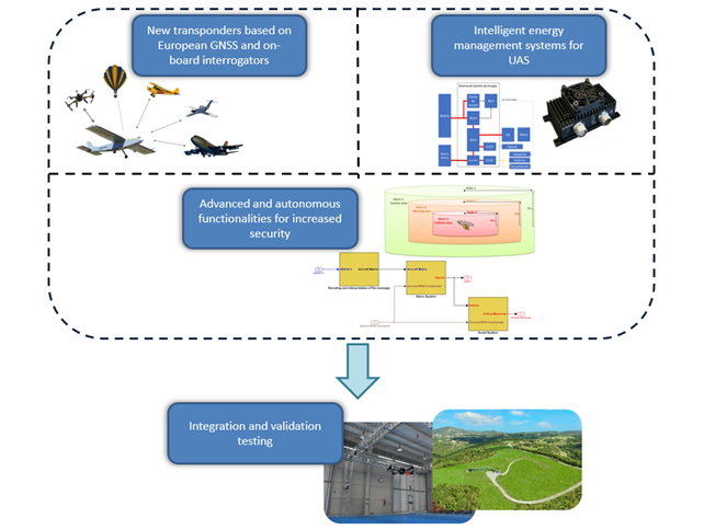
TASI – 2021 to 2023
The overall objective of the TASI-UAS project is the definition and development of new technologies in flight critical systems for specific category UAS, such as transponders or energy management systems. CATUAV will be responsible of the following activities as well as the systems integration and flight testing + evaluation campaigns: Reactive guidance algorithms for collision avoidance (linked with tactical deconfliction subsystem): In the event that the tactical deconfliction functionality does not work as expected and ...
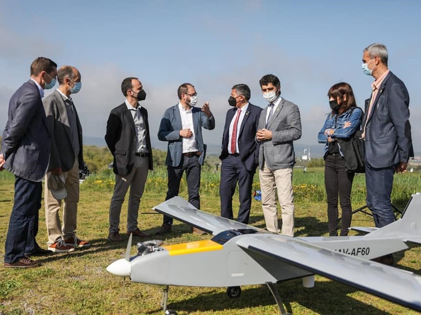
Long Range UAS Communications – 2021
This project is aimed to test the real time surveillance and communications relay capabilities of the new Oryx platform. The project was promoted by the Catalan Government Digital Policies Ministry, with the collaboration of Catalan Government Home Affairs Ministry and the I2CAT tech center. During the project the following technologies are being tested: • 4G/5G Communications for real time video and telemetry link. • IP Mesh (Wireless Ethernet Radio Network) Communications for real time video ...
IOPES – 2020 to 2022
IOPES aims at strengthening the preparedness of civil protection and emergency teams (CPET) involved in disaster-related operations. The targets are (1) to provide continuous, time-tagged information about the location of CPETs, no matter whether they are located indoors or outdoors, (2) integrating such information as a new feature of an already operational emergency management system, (3) relying in cartography, either existing or produced by means of fast mapping techniques and Remotely Piloted Aircraft Systems (RPAS) ...
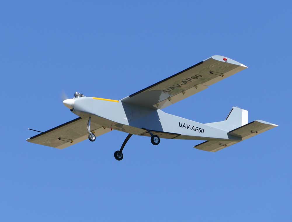
ORYX – 2019 to 2020
ORYX is the new long range UAS platform designed and developed by CATUAV, that replaces the previous ARGOS series, which have been in service since 2008. The new UAS is developed after the appearance of the following changes in the UAS environment: Announcement of the new EASA legislation, which aims to allow, for the first time, long range BVLOS operations in the civil market. The lack of low cost and customizable long range UAS solutions ...
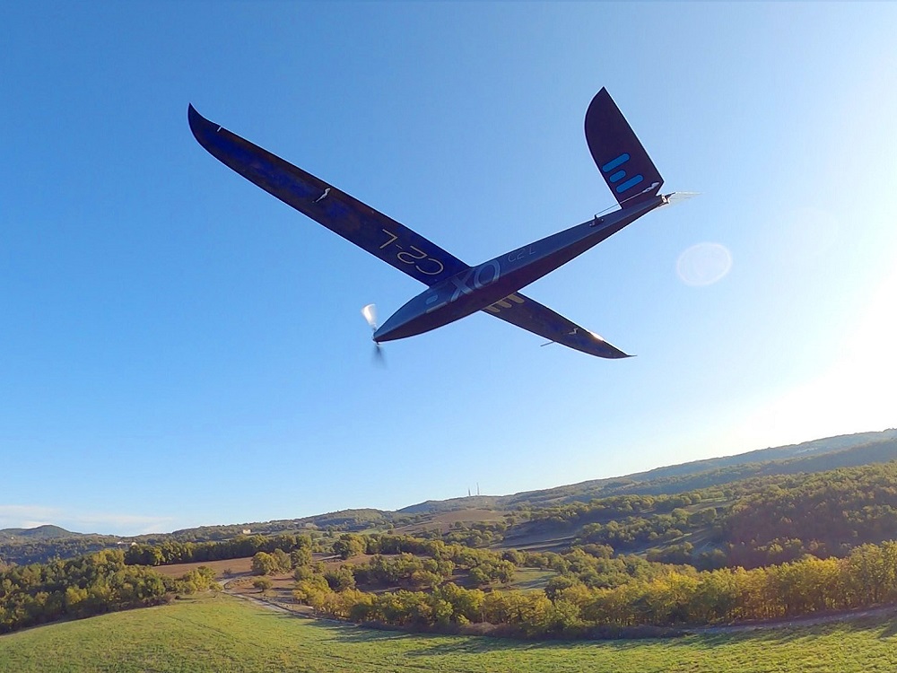
EXO C2-L – 2019
In May 2019 we received from our sister company Exodronics the order to develop a small fixed wing drone that gathered the best performances possible with the current state of the art. We decided to use for the first time a Li Ion battery and a very efficient airframe and propulsion system to maximize system endurance. The EXO C2-L has been designed to be operated fully autonomous from take-off to landing. It also integrates the ...