In this section you can find a list of the most relevant Research and Development projects in which CATUAV has participated since 2000:
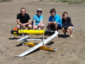
MAPKITE – 2015 to 2017
MapKITE project has materialized a new mobile, terrestrial and aerial, geodata collection and mapping paradigm. Geodata acquisition in mapKITE is accomplished by a tandem terrestrial-aerial mapping system based on a terrestrial vehicle and on an unmanned aircraft, both equipped with remote sensing payloads. In the mapKITE paradigm, the UA (Unmanned Aircraft) follows the TV (Terrestrial Vehicle) at an approximate constant flying height above ground while geodata are acquired simultaneously from air and ground. The final ...
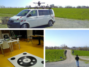
ALDRONE – 2015
Today there are 110M landmines deployed in 78 countries, including in Europe, killing up to 20,000 a year. The removal of landmines is slow and manual, dangerous (for every 5000 mines cleared 1 worker is killed and 2 injured), and costly ($300–1000 to remove 1 mine). In the past 5 years less than 1000 km2 worldwide were cleared of mine. At this pace it will take 1100yrs to remove all the landmines. To meet these ...
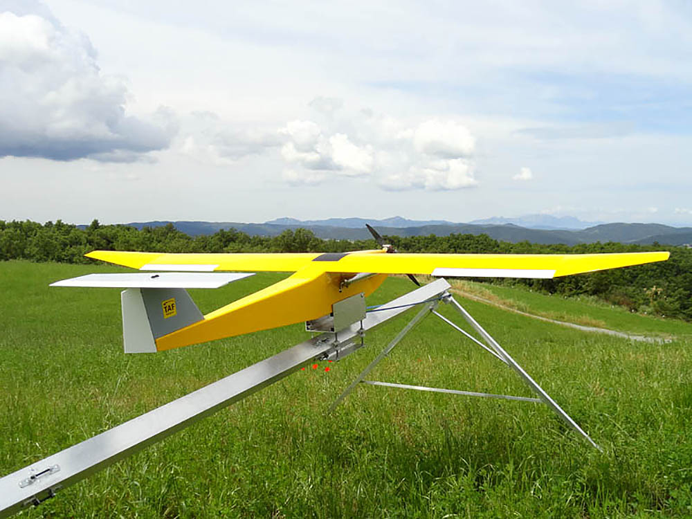
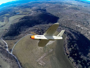
Firefighting Drone – 2014
TAF Helicopters commissioned CATUAV to develop a new and improved version of the ARGOS platform to complement the services it has provided with helicopters since 1963. The main objective was to monitor forest fires with a thermal camera at night, flying during the time when manned airplanes are not allowed to operate. During the project CATUAV developed a new launching ramp that allowed the system to be operated anywhere, a parachute recovery system for emergency ...
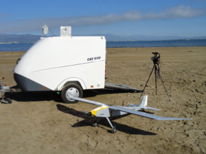
PHYTOSCOPE – 2012 to 2014
Phytoscope (stands for PHYToplankton biOdiversity multiScale Characterization using advanced Optical technologies) was carried out in the Alfacs bay as a scientific campaign to collect data for the Phytoscope project. This campaign was organized by the ICM (CSIC) and directed by Dr. Jaume Piera. CATUAV participated capturing thermal images with the NEC F30 camera and hyperspectral images with the new RIKOLA. In total, CATUAV made 14 UAV flights that will show the variability of the control ...
MESTRAL – 2012 to 2015
The main goal of the project MESTRAL (stands for Modelling and advanced observational tEchnologies to link tranSport processes, opTically-active constituents, and wateR light-field vAriability in a coastaL ecosystem) was to investigate the presence of small-scale transport processes in the Alfacs Bay, and how they affect the spatial patterns of optically active constituents (sediments, phytoplankton and dissolved organic matter) and the underwater light-field variability. Over three years the Marine Technology Unit (CMIMA / CSIC), directed by Jaume Piera, ...