Year: 2008
Precision Agriculture is a farming management concept based on collecting relevant data of crops variability in order to optimize farming processes and save resources. Remote sensing techniques used in precision agriculture usually benefit from acquiring airborne data with multispectral and thermal cameras which is correlated with on-site field measurements to extrapolate relevant information from the crops, such as vegetation vigour or water stress.
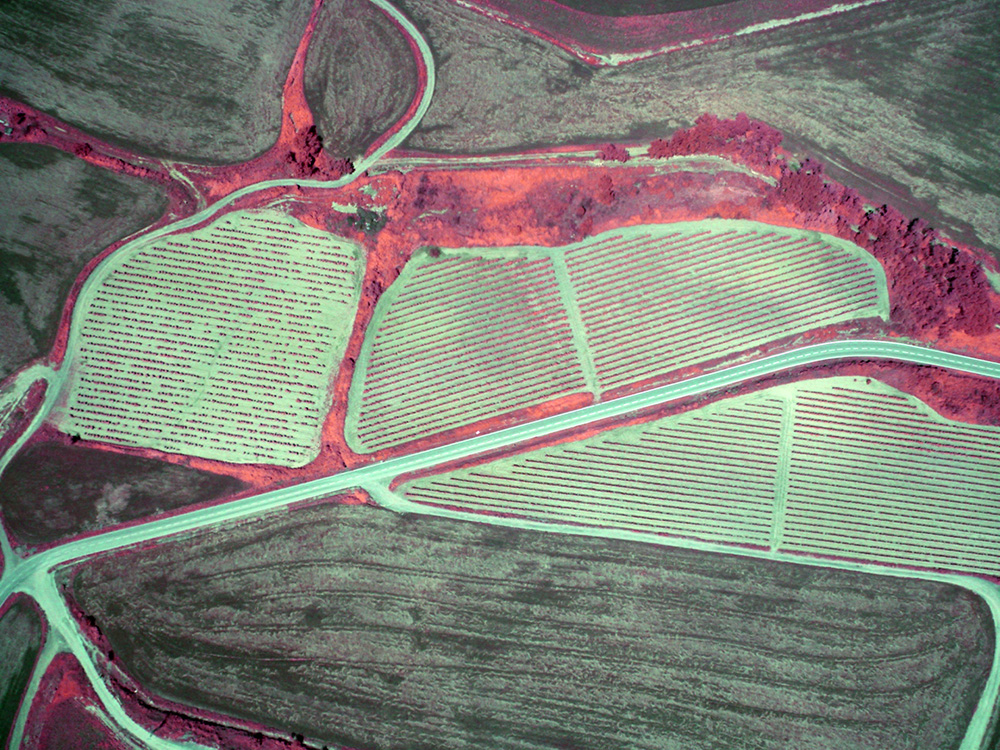
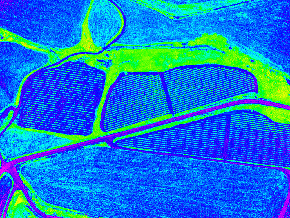
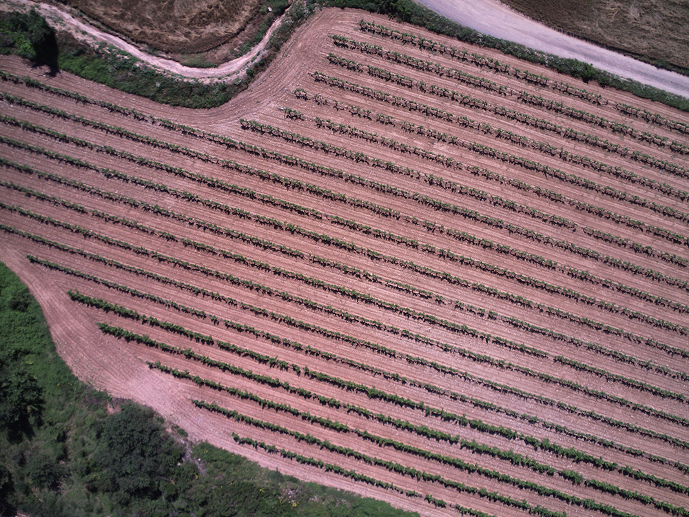
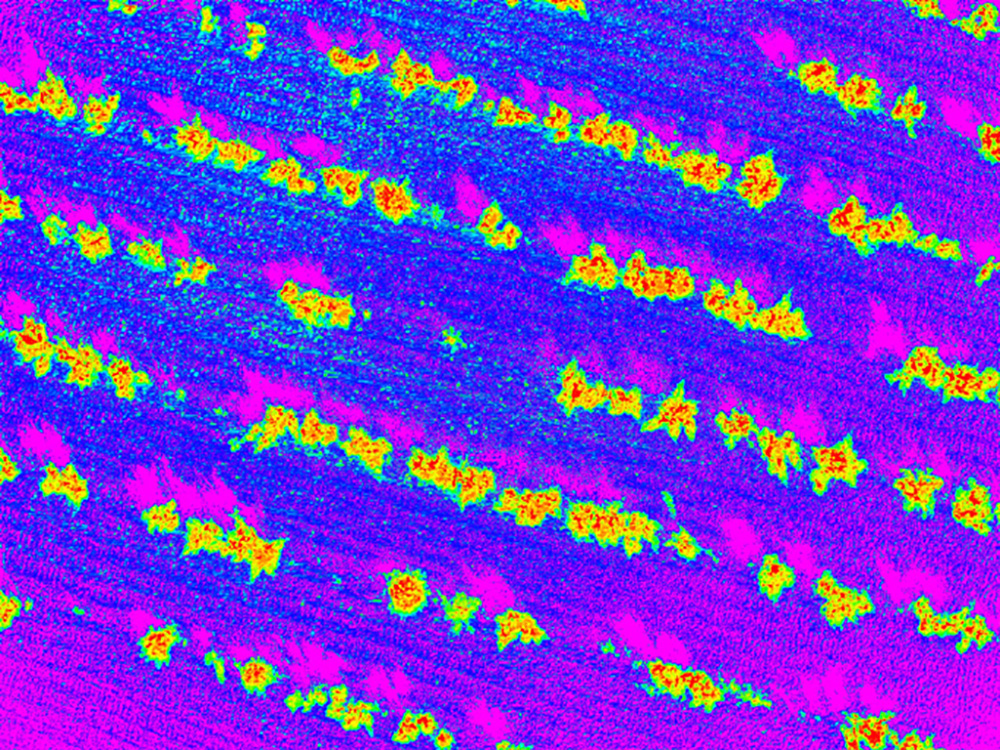
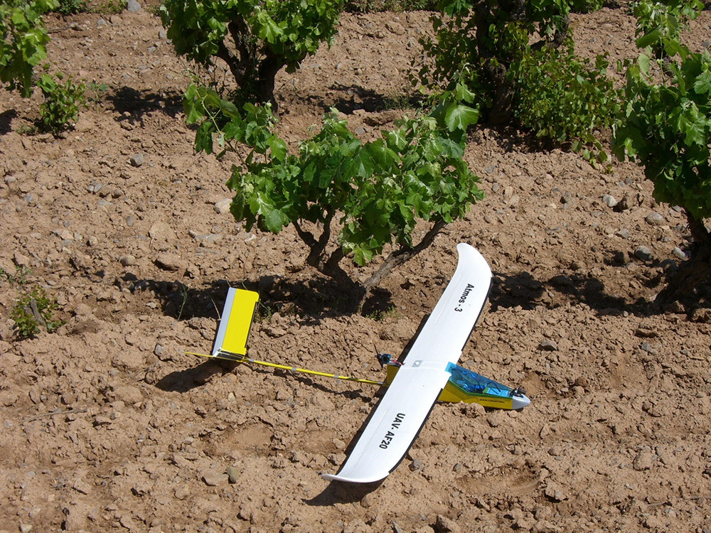
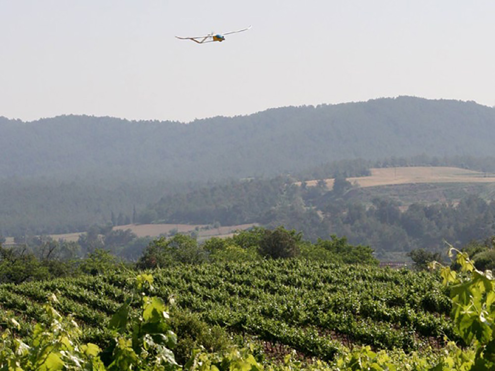
Traditional imagery was acquired with satellite and manned airplanes, but it had to main drawbacks: low resolution and high cost. The appearance of small multispectral and thermal sensors opened the gates to perform the same task with drones, providing not only an affordable solution for farmers but also a much higher resolution, allowing to properly differentiating the plants from the soil background and even being able to perform plant by plant analysis.
CATUAV started deploying this technology in 2008, doing the first tests in Abadal vineyards, one of the oldest cellars in Catalonia, producing wine way before year 1200. The flights performed allowed the acquisition of high resolution near-infrared data and the computation of remote sensing vegetation indices, discovering a new valuable tool to the cellar owners.