Year: 2011
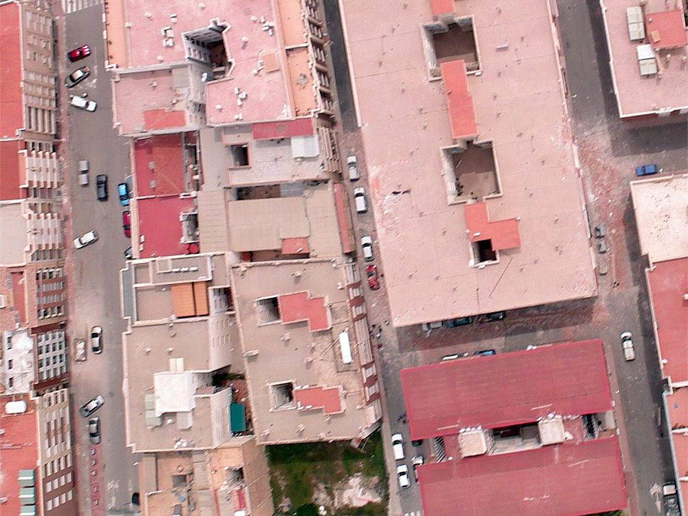
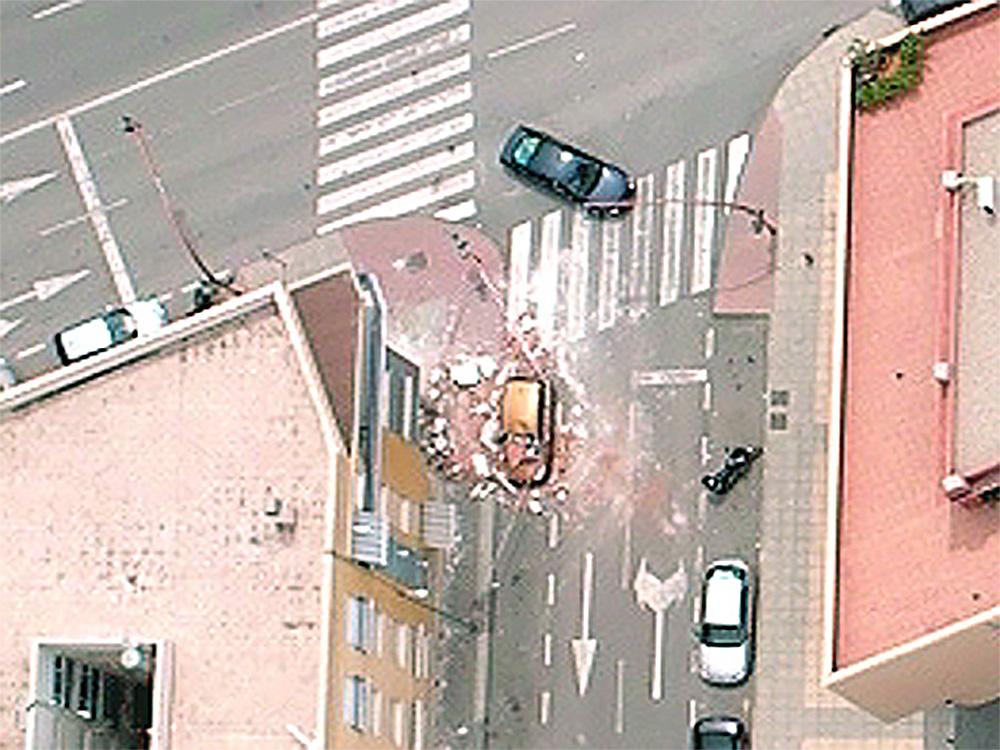
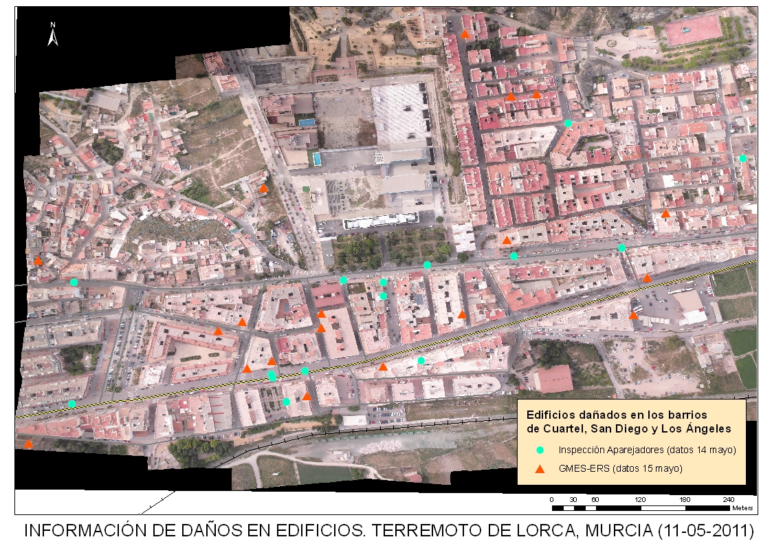
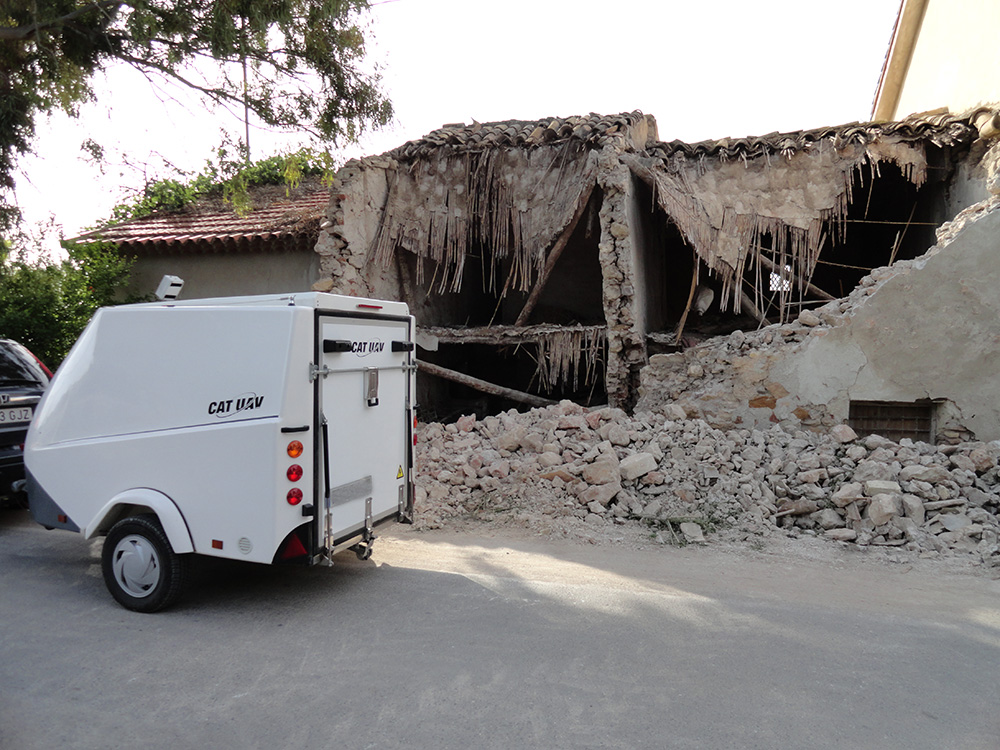
In 11th May 2011 an Earthquake of 5.1 Seismic Magnitude Scale occurred near the town of Lorca. Due to the weather condition at that moment it was impossible to get updated imagery coverage of the affected area using traditional means. CATUAV was mobilized to go to the to the area and cover the disaster. The full Lorca town was flown less than 24h after the earthquake and the an orthophotomap generated in less than 48h, being one of the first times worldwide that drones were used in emergency response.
The high resolution imagery obtained provided high valuable information that allowed the emergency response teams to identify dangerous areas such as damaged cornices or roofs without having to be over or nearby them. Drones were proven to be a valuable solution for this kind of events, in which high resolution and fast deployment are key factors.