Year: 2008
Two major technology advances allowed the use of drone data to generate orthophotomaps:
The first one, was the continuously improvement in handheld digital cameras for the customer market. With a continuous increase in resolution while lowering the price and weight of these cameras, they were suitable to be used on board drones for acquired high resolution imagery.
The second one, was the computational power increase in personal computers that brought the appearance of the first imagery processing photogrammetric software capable of working with UAV data.
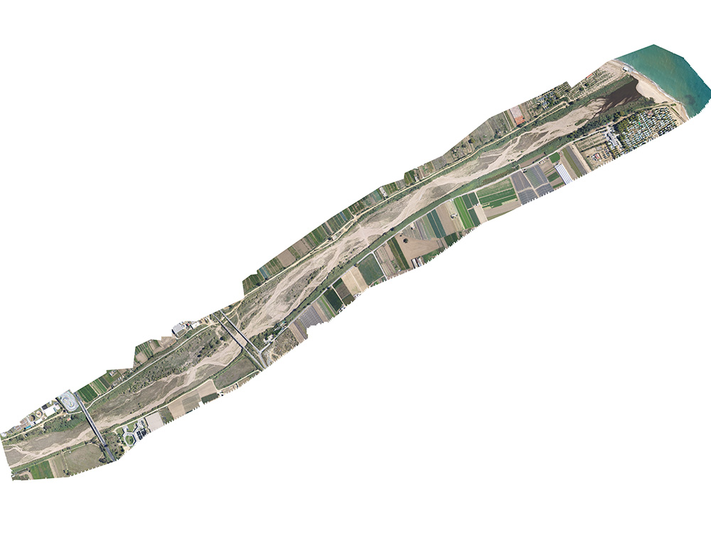
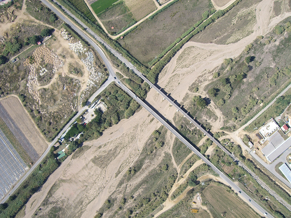
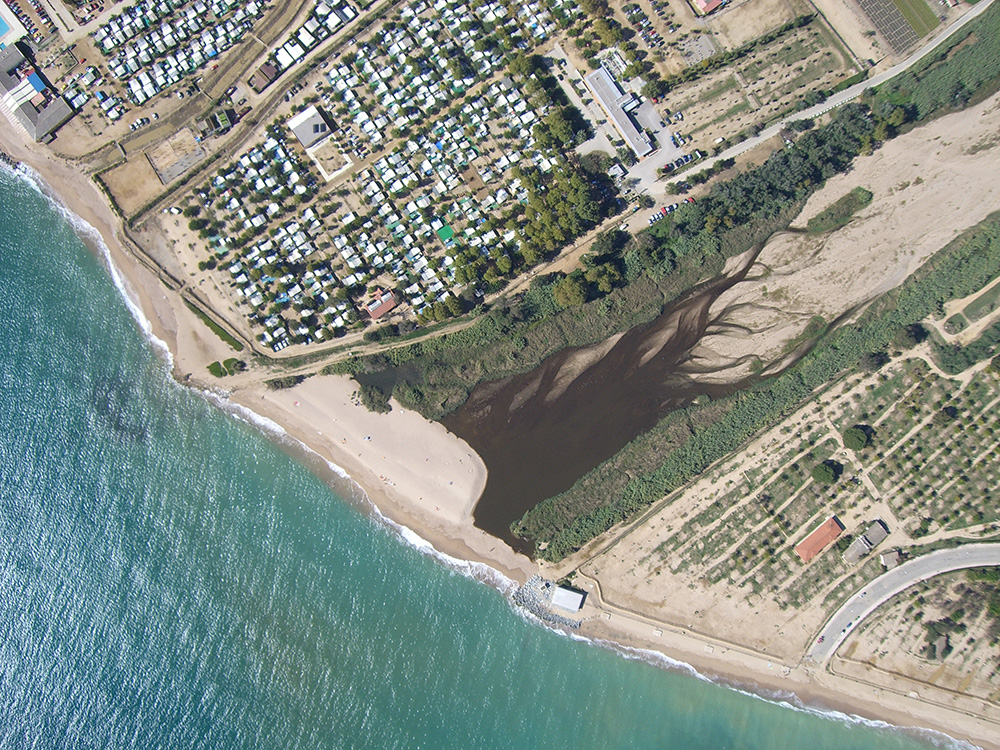
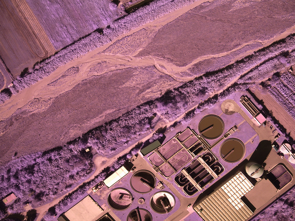
Thanks to the before mentioned advances CATUAV found the opportunity to start generating maps and cartography using drones as early as 2007, doing the first orthophotomaps with this technology soon after. One of the first examples in a real case application was the map generation of the final section of the Tordera River in 2008, acquiring both RGB and Near-Infrared imagery.