Year: 2011 to 2014.
Project type: ESA Business Applications
Participants: 4 end users organisations, 2 Universities and 10 Private Companies.
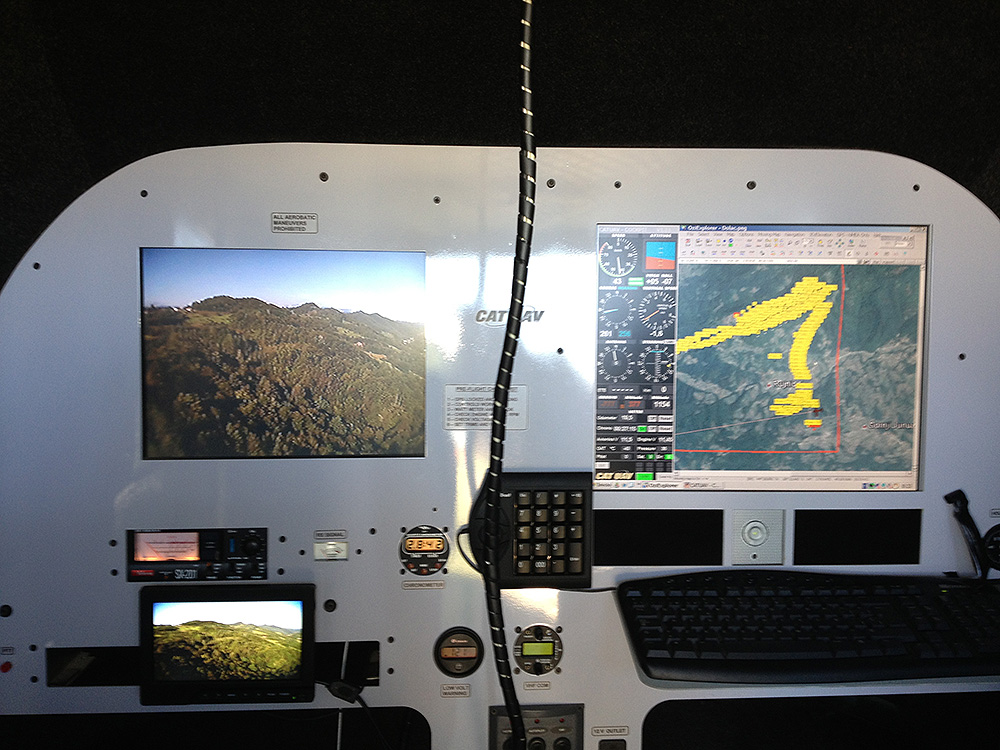
SAFEDEM (Space Asses For Enhanced De Mining) was a project funded by the European Space Agency (ESA) to validate the use of both satellite and drone imagery to help in the demining activities. CATUAV participated in the project with the acquisition of multispectral data in the visible, near-infrared and thermal bands.
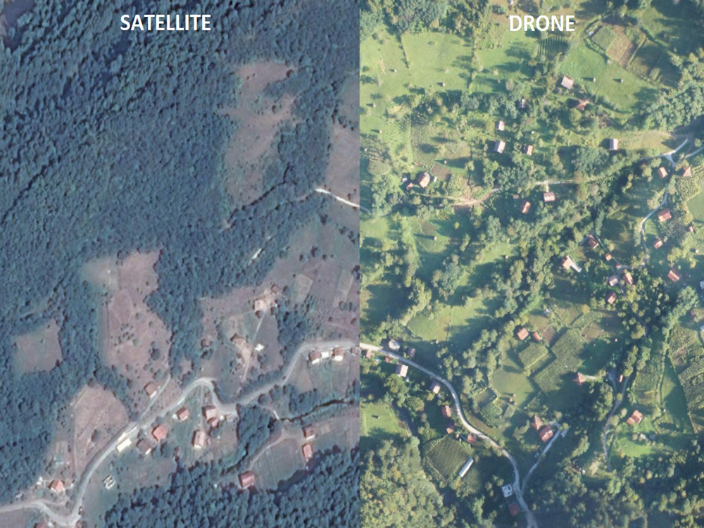
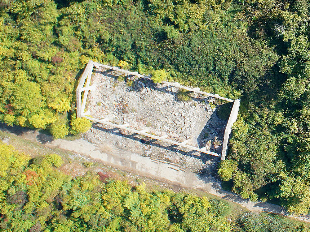
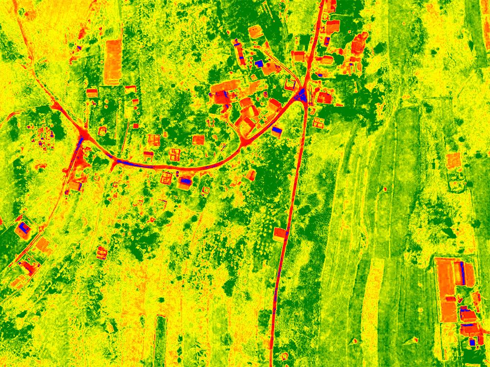
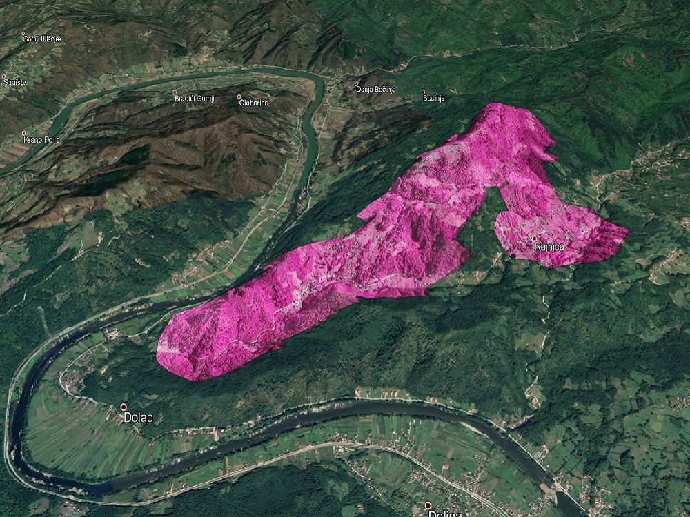
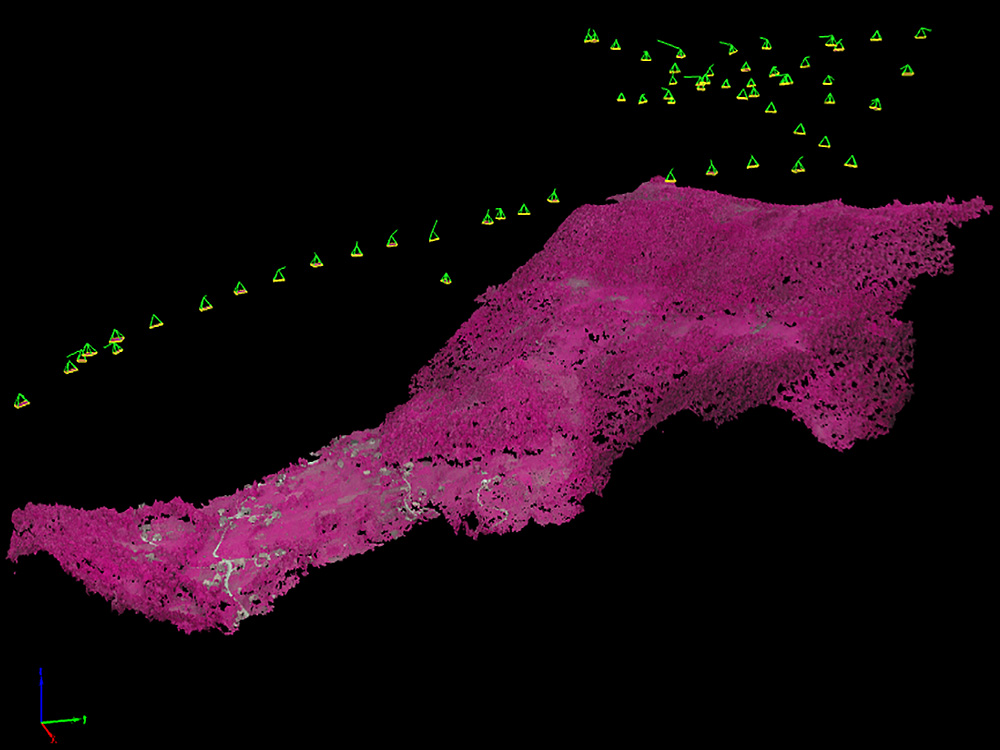
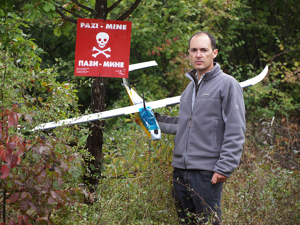
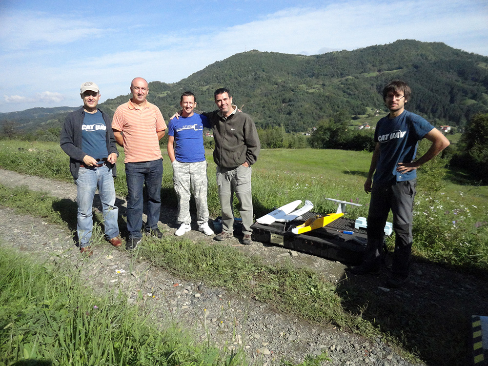
Two flight campaigns were carried out in Bosnia in partnership with the BIHMAC (Bosnia & Herzegovina Mine Action Center) in order to test the systems in a real case scenario. The imagery obtained during the flights was used to create high resolution orthophotos that allowed the demining teams to get updated geo-information of the mine fields areas. Furthermore, the combination of near infrared and thermal bands allowed the specialists to locate hidden structures in the vegetation and to remote sense landslides that affected the mine fields.
One of the major benefits of the project was the capability to get all this valuable information from a safe distance of the mine fields.
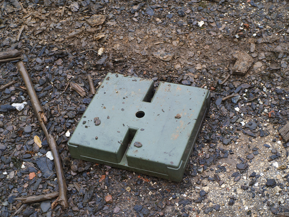
As part of the project, R+D was carried with the aim to be able to remote sense minefields using the combination of thermal and near-infrared data. 3D printed fake land-mines were designed and installed near CATUAV airfield in order to test the capability of performing such task.
All the experience gathered inside this project lead to the start of the Aldrone project.