Year: 2022 to 2023.
Project type: Spanish Project co-funded by MINCOTUR, program AEI.
Participants: 3 Enterprises, 2 Clusters.
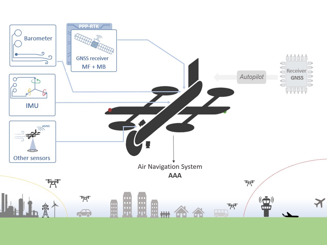
NALARGA or long-range navigation, responds to the problem of excessive or total dependence of UAS navigation on conventional satellite positioning systems (GNSS) whose signals can be interfered and/or falsified while focusing on the hub-hub-user operation concept.
The concept of using UAS for parcel transport is becoming more and more solid, with the delivery of goods over long distances being conceived as a substitute for long routes in land transport, which are more polluting, more susceptible to delays in sensitive parcels and ultimately more costly. This requires accurate, always available, secure, and affordable navigation positioning security.
NALARGA aims to improve through algorithms and various sensors the GNSS positioning and shield the signal against possible losses, hijackings or attacks in environments where delivery and transport of goods are less controllable, and more exposed to interference and/or occlusions of the GNSS signal.